
Shipwrecks off the island of Mozambique (Mozambique – 2018)
The Island of Mozambique is a long-forgotten legendary place. Since the end of the 15th century, it became a major Portuguese settlement, where most of the ships on the sea route to India would stop before crossing the ocean.
Today, a local archaeologist fights against treasure hunters to preserve the outstanding historical heritage. Under his supervision, an underwater archaeology learning center and a museum will open soon.
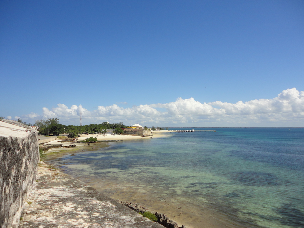
The Island of Mozambique, situated on the Northern coast of the eponymous country, is nothing short of a historical jewel. The 1.5 square kilometers islet is separated from mainland Africa by three kilometers of clear blue sea, over which a bridge was built in the 1960s. This tiny territory became the subject of fierce rivalry over many centuries. The world’s most powerful maritime empires all tried to claim its strategic location for their own.
 The very first navigators to discover the island’s fantastic potential sailed from the Arabic Peninsula, today Yemen and Oman. While sailing along the coast of Eastern Africa during the 8th century, this Arabic commercial elite used the island and its bay to seek cover from the elements. The tiny island offers no source of fresh water, thus never allowing native populations to settle. Yet, the local tribes from this part of Mozambique, the Macua, would sometimes use it as a short-term shelter to avoid tribal wars that often raged on the continent. The island was hence nicknamed “the hideout”.
Through the generations, the number of Arabic merchants visiting the Island of Mozambique kept growing, and important families built permanent settlements. It was the beginning of a long tradition of cultures blending and mixing, at first with local Africans. At that time, Islam was the only religion on the island. This tiny piece of land even became the mainstay for Muslim Brotherhoods, who established their headquarters for the rest of Mozambique. A moderate and modern Islam was preached, entrusting important roles to women. Probably the legacy from the matriarchal society of the local Macuas.
Battleships
The Afro-Arab reign came to an abrupt end with the arrival of the great navigator Vasco de Gama, in the final years of the 15th century. On his legendary journey to open the sea route to India, he was the first European to set foot on the Island of Mozambique in 1498. After sailing around the Cape of Good Hope with his fleet, he was following the African coast northwards, looking for safe natural harbours.
 Commercial rivalry was at its all-time high, and it didn’t take long for the Arabs to realize that these newcomers were Christian foreigners, their mortal enemies. A fierce battle erupted, and de Gama found himself trapped. He narrowly escaped with the help of his superior fire power.
The written stories from the crew made it all the way back to the King’s court in Lisbon. On the Island of Mozambique, before the bloody battle, Vasco de Gama was briefly introduced to the local sultan, Mussa am Biek. During the introduction, the Portuguese navigator misunderstood the translation and thought he was hearing the name of the country, not of his interlocutor. “Mussa am Biek” was recorded, which later would evolve into “Mozambique”.
Wealth, slavery and the mixing of cultures
Once opened and secured, the sea route to India saw a dramatic increase in Portuguese vessels. Each year, dozens of ships headed East on the Spice Route, and they all stopped at what had become the first and most important trading post below the Equator: the Island of Mozambique. Prestigious passengers set foot on the famous island, such as the great Portuguese poet Luís de Camões. During the 17th century, the author of the epic “Os Luíadas” was on his way back from Asia, after spending 15 years warring on the orders of the King of Portugal. He stayed two years in transit, waiting for a ship to bring him back to Lisbon. With nothing much to do on the island, he spent his time perfecting his masterpiece.
 The new highway to India brought new layers to the island’s already highly diverse mixing of cultures. Henceforth, four great regions of the world met on this little rock in the Indian Ocean: Africa of course, the Arabic peninsula, Europe and India. Local Muslim Arabs saw the arrival of Hindous, Christians and Muslim Indians. The local architects built with styles as diverse as the people inhabiting the island. This thriving tiny territory hosted many different places of worship all cohabiting in peace and harmony.
Up until the 19th century, the Island of Mozambique was the inevitable crossroad for the trade of spices, gold and ivory, but most importantly, of slaves. From the mainland, black prisoners were herded to the coast. Men, women and children were then transferred to the island to board ships that sailed them far away from their native land. It is estimated that between 600’000 to 800’000 slaves transited through the island.
Abandoned
Once the proud capital of Mozambique, the island was gradually abandoned from 1898 onwards, when the Portuguese decided to move their administration further South to Lourenço Marques, today the city of Maputo. All of the important families packed their bags, leaving their luxurious residences behind.
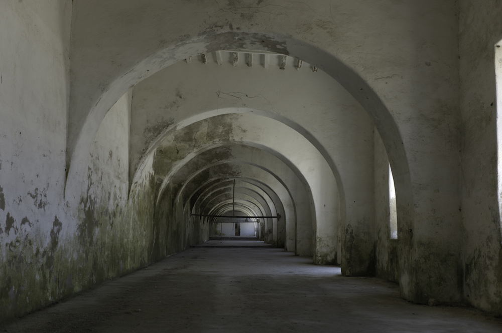
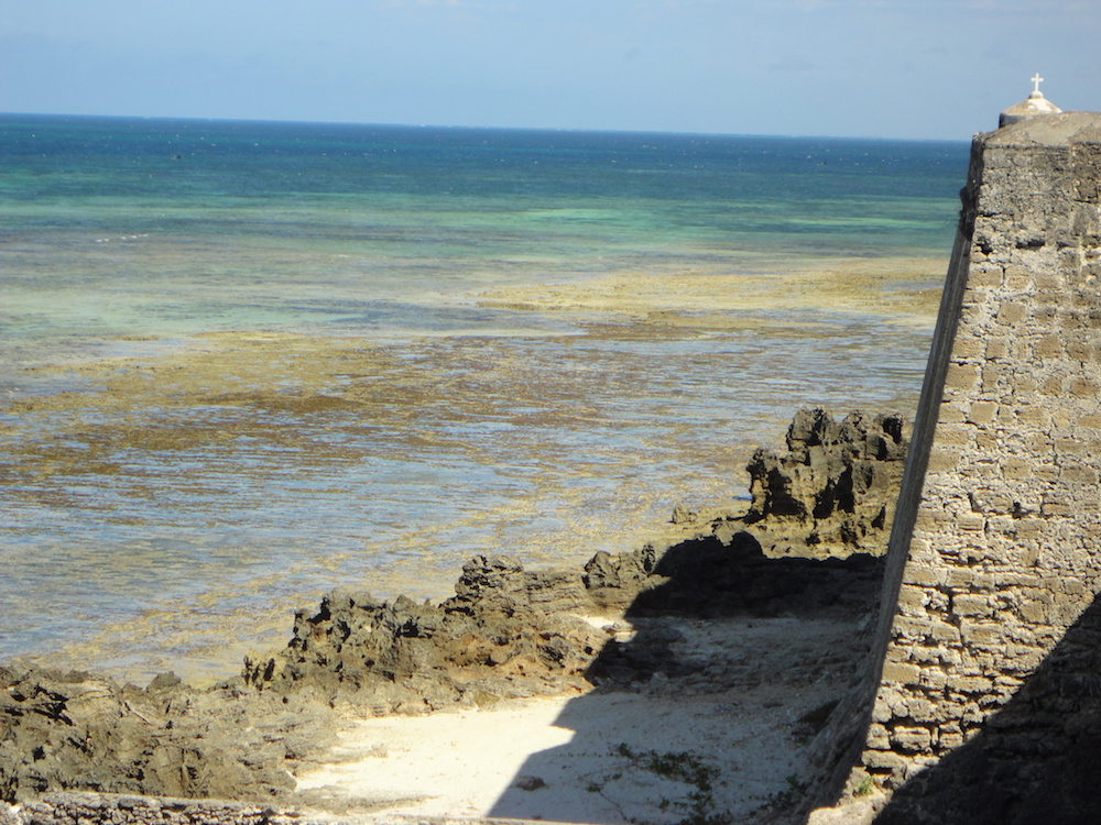
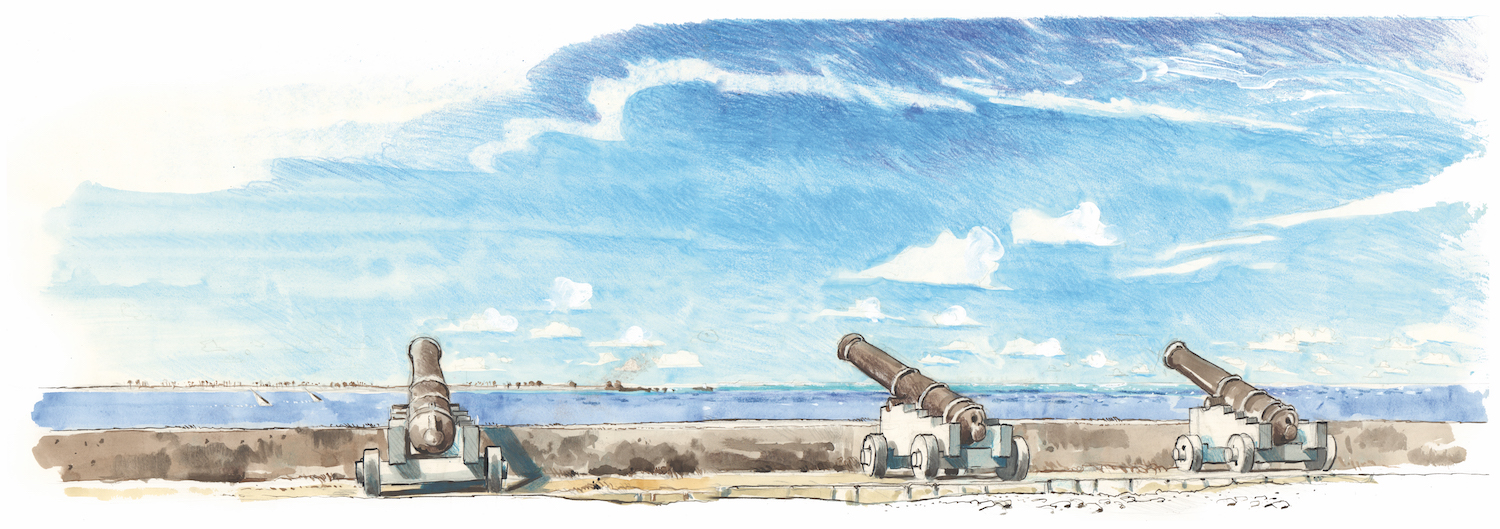
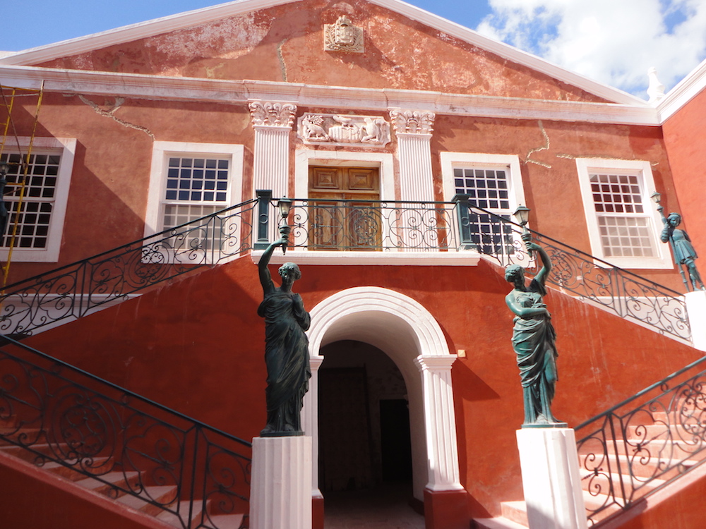 On June 25th, 1975, Mozambique celebrated its independence after five centuries of Portuguese ruling. Not long afterwards, a bloody civil war swept across the country, killing thousands. It ended in 1992. During these difficult years, the Island of Mozambique reclaimed its initial role as a hideout for the oppressed. Local refugees could count on the three-kilometre-long bridge to avoid ambushes and attacks. The island hosts numerous historical remains, such as churches, mosques, temples and a huge Portuguese fort built during the 16th century. The state of these architectural treasures rapidly declined due to overpopulation and lack of maintenance.
In order to safeguard what makes the uniqueness of the island, its territory and buildings were added in 1991 to UNESCO’s World Heritage program.
Treasure hunters
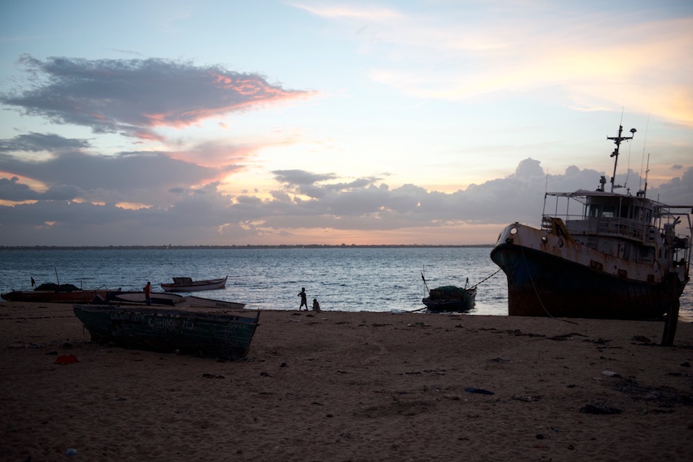
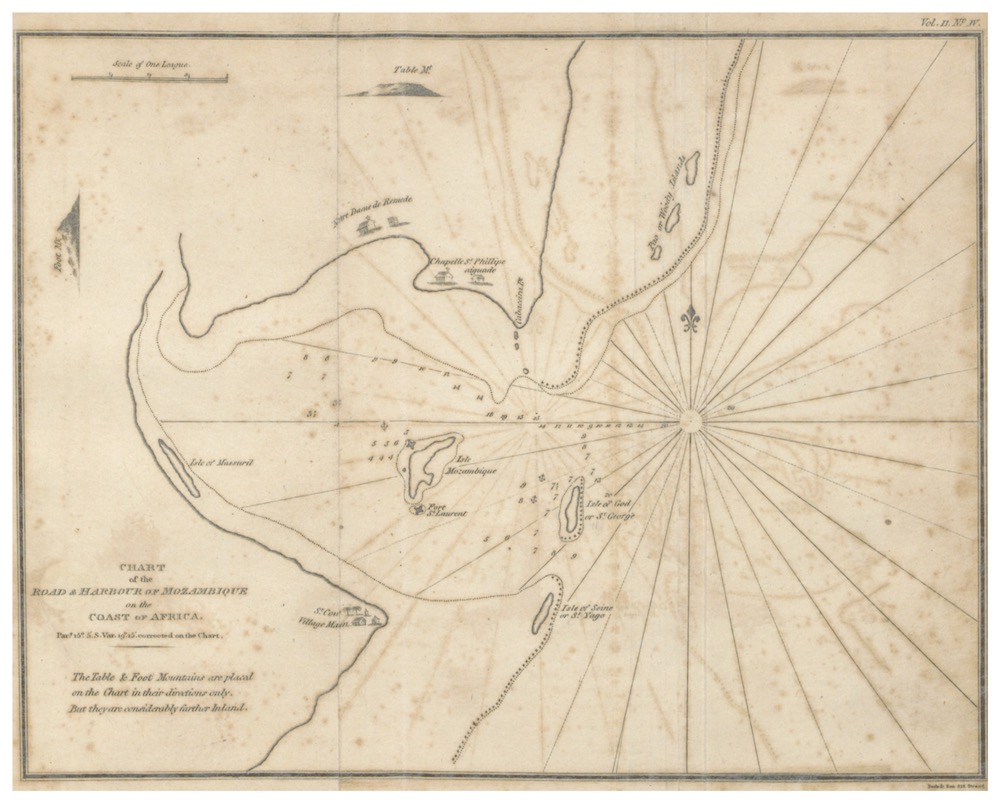
Once coveted by the most powerful maritime empires of the world, the Island of Mozambique has today lost all of its strategic importance. Yet, for the past 20 years, it became once more the target of lust, greed and confrontation. Treasure hunters and wreck looters spent years scouting the bay surrounding the island, where thirty or so historical shipwrecks lie dormant on the seafloor. These silent witnesses of an incredibly rich past offered the dream of easy fortune, and a Portuguese firm took advantage of the absence of local laws and patrols. They mercifully looted some of the submerged historical vestiges.
 Thankfully, the tireless work of a local archaeologist, Dr Ricardo Duarte, proved stronger, and he succeeded in evicting the looters from Mozambique in 2014. He also managed to locate and catalogue most of the shipwrecks. These vestiges will be studied by local students in an underwater archaeology learning center to be created with the support of the Culture Minister of Mozambique, the University of Eduardo Mondlane in Maputo (where Dr Duarte teaches) and the patronage of the UNESCO.
A section of the São Sebastião fort is planned to be transformed into a museum to display the results of the archaeological work to the local population and to foreign visitors. Tourism is slowly gaining in importance on the Island of Mozambique, where private investments are dedicated to restoring old residences into hotels and restaurants. Fishing, construction and tourism are the sectors that are currently driving the island’s economy, but a lot of efforts still need to be invested in order to restore the legendary beauty and history of the Island of Mozambique.
Location


Supporting the local archaeologists
The Island of Mozambique’s history is outstanding. Dozens of shipwrecks sunk between the 15th and the 20th century in the bay’s waters.
 For the past 20 years, these priceless historical remains were unfortunately looted by Portuguese treasure hunters. Without Dr Ricardo Duarte’s dedicated work, irreversible damage would still be happening today.
This professor of archeology and underwater archeology at the Eduardo Mondlane University of Maputo protested during many years against the lawless pillage. In 2014, he succeeded in evicting the looters from Mozambique. With the help of his wife, Yolanda Duarte, he located and catalogued most of the shipwrecks that silently lie on the sandy seafloor of the bay.
In order to study these submerged historical wonders, Dr Duarte asked for the Octopus Foundation’s support to launch Mozambique’s first underwater archaeology learning center.
To accomplish this important task, the Foundation’s crew will head to the Island of Mozambique in 2018 with its underwater photography gear, its drones and its proficiency in scuba diving and sailing. The high definition images will help to document and create 3D computer models of some of the numerous shipwrecks that are located in the bay around the island.
Publishing of media
To help the study of the findings around the Island of Mozambique, a panel of media such as photos, bathymetric charts and 3D computer models will be created and displayed in the fort of São Sebastião.
 With the UNESCO’s support under the 2001 Convention for the Protection of the Underwater Heritage, and with the help of the Culture Minister of Mozambique, a museum will be created in the large building which is currently being renovated. The archaeological findings will be presented to the local population, and to foreign visitors that are coming in greater numbers eachyear.
Photos and drawings will also be useful in the reconstitution of fascinating and tragic stories of some of the local shipwrecks.
Location
Aerial drones
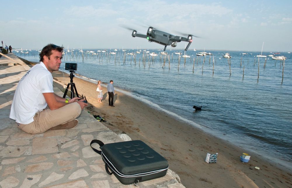 Aerial drones are particularly useful to detect underwater objects that are in shallow and clear waters.
By flying several dozen meters above the surface, the pilot is able to detect and locate in some instances shipwrecks by water transparency. This way, the drone will scout large areas that can later be searched by divers.
For this project, several drones will be used by the Octopus Foundation in order to cover a large zone all around the Island of Mozambique.
Underwater drone
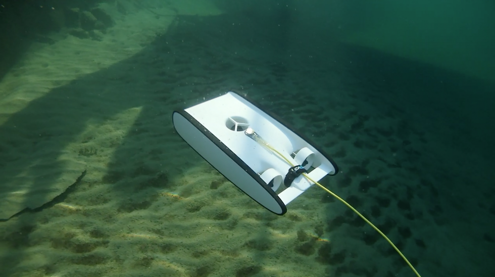 For this mission, the Beta version of the Trident from OpenRov will:
– dive preliminarily on shipwrecks, in order to decide if it’s worth sending scuba divers
– help with photogrammetry and 3D computer modelling of submerged remains
– take pictures and videos in deep and hard to reach zones
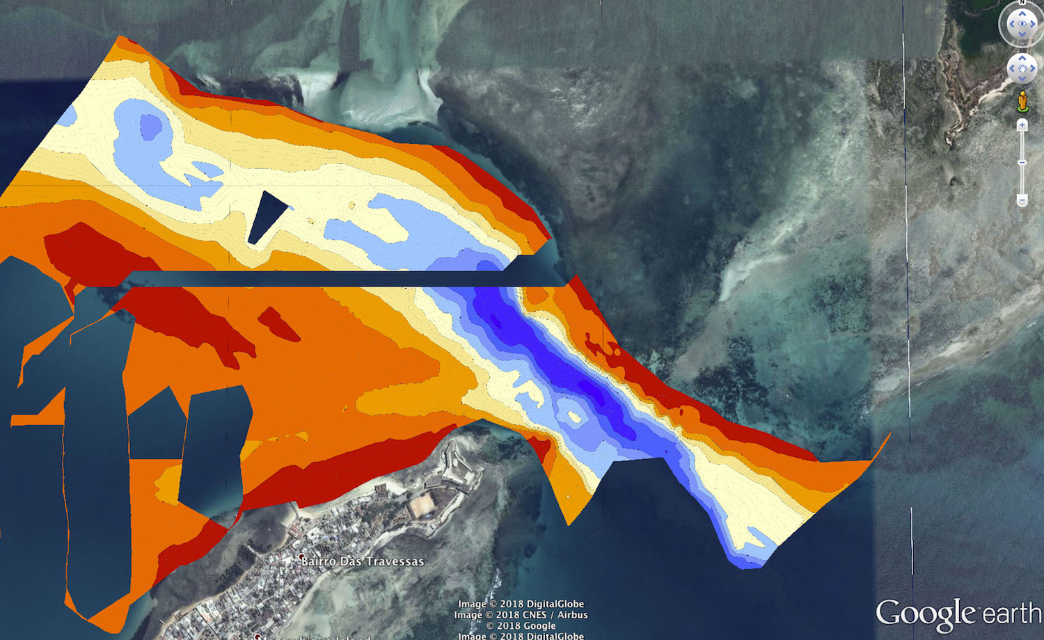
Bathymetric charts
To this day, there isn’t a precise bathymetric chart of the bay surrounding the Island of Mozambique. With a portable sonar operated from a boat, the Octopus Foundation will create several maps of interesting zones. These are extremely valuable tools for future expeditions.
3D computer models of shipwrecks
Once the underwater pictures are taken and saved on a computer, the Octopus Foundation processes the data to create 3D models.
By clicking the “play” symbol in the center of the image, the model will load, which allows to navigate through it. It’s also possible to zoom in or out by holding the Shift key.
With a tool that is free and easy to use, the Octopus Foundation takes people with or without diving skills to the bottom of the sea, in order to witness submerged beauties that are often hard to reach.
Photogrammetry
These visual tools are interesting for scuba divers and for the greater public, but are they useful to scientists ? It is important to remember that our first goal is to support the exploration of our seas and oceans and the research of its wonders.
 From the 3D computer model, the software can extract a scientific tool: the orthophotoplan. By horizontally projecting the seafloor on a map, it is a precise tool that respects the true scale of the site, with a centimetric accuracy.
Those who dive know that each minute counts when breathing with the help of an air tank. Which such tools, it’s now possible to spend a limitless amount of time on a site in order to study it as thoroughly as needed.
Location
3D model
The archeologists of the University of Maputo asked the Octopus Foundation to study several shipwrecks around the Island of Mozambique. Following the 2018 field mission, we are proud to present several models made from hundreds of photos.
To begin, here is the 3D model of an ancient Portuguese cannon, believed to date back to the 16th century. It now rests at the bottom of the sea, at a depth of around 20 meters:
How to use the model: After clicking on the “play” symbol, and once the buffering is completed, it’s possible to click in the window and drag the pointer in any direction. It is also possible to zoom in or out. Finally, by pressing and maintaining the “shift” button, the model can be moved around.
With a free and simple tool, the Octopus Foundation is able to bring the public to an important ancient site, and present archaeological treasures, on land or at sea. Such as the Fort of São Sebastião that was built on the Northern tip of the Island of Mozambique:
Graphic Novel
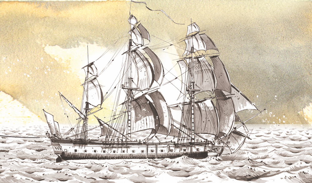
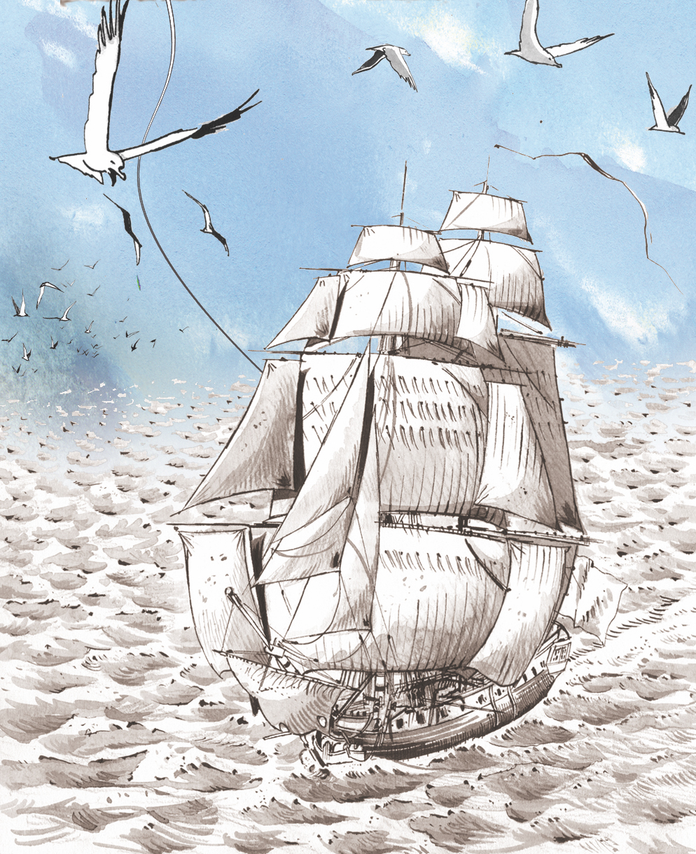
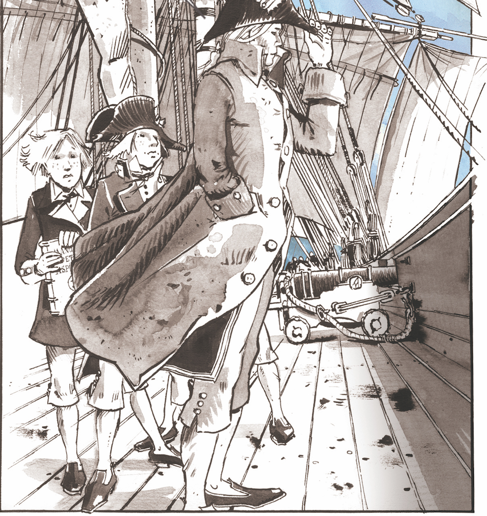
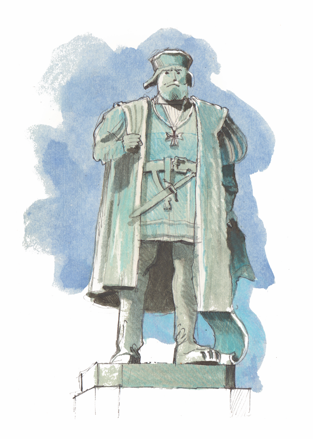 Because the Octopus Foundation wishes to raise awareness in people of all ages, some of our projects will be explained in graphic novels. The Foundation’s crew is not only composed of divers, sailors, journalists, biologists and historians, but we are also lucky to have Antoine Bugeon, a young and talented artist who happens to be an experienced sailor.
We asked him to draw what happened behind the scenes of the 2018 expedition to Mozambique, so that the reader can understand the importance of this historical site.
His talent is put to a particularly good use with this subject, and his love for ancient vessels can’t really be missed.
Location
Passion Outremer, the discovery show of France Ô, dedicated its prime-time on Sunday September 8, 2019 to the Mozambique project.
A 52-minute documentary that can be seen here: (password: Mozambique2018):
Location
Team members

Julien PFYFFER
Founder and chairman

Ariel Fuchs
International advisor

Sebastien ROUSSEAU
Navigation manager

Philippe HENRY
Director of Photography

Antoine BUGEON
Cartoonist and sailor
Christophe VIGNAUX
Diver and skipper

Thomas Delorme
Documentary director

Andy GUINAND
Head of robotics

Dr Ricardo Duarte
Archaeologist

Yolanda Duarte
Documentalist
Partners

UNESCO
United Nations organization to promote education, science and culture

Universidade Eduardo Mondlane
University in Mozambique
Underwater Cultural Heritage
2001 Convention on the protection of the underwater cultural heritage
Gallery